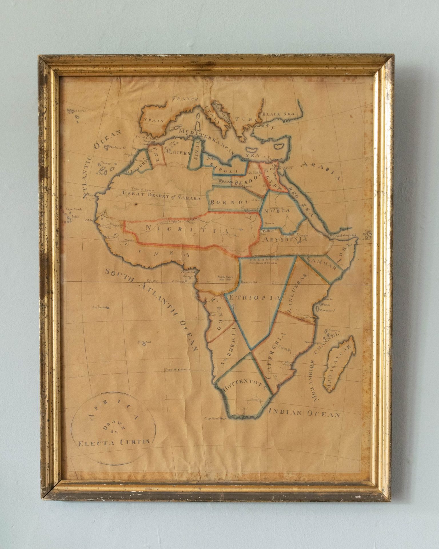
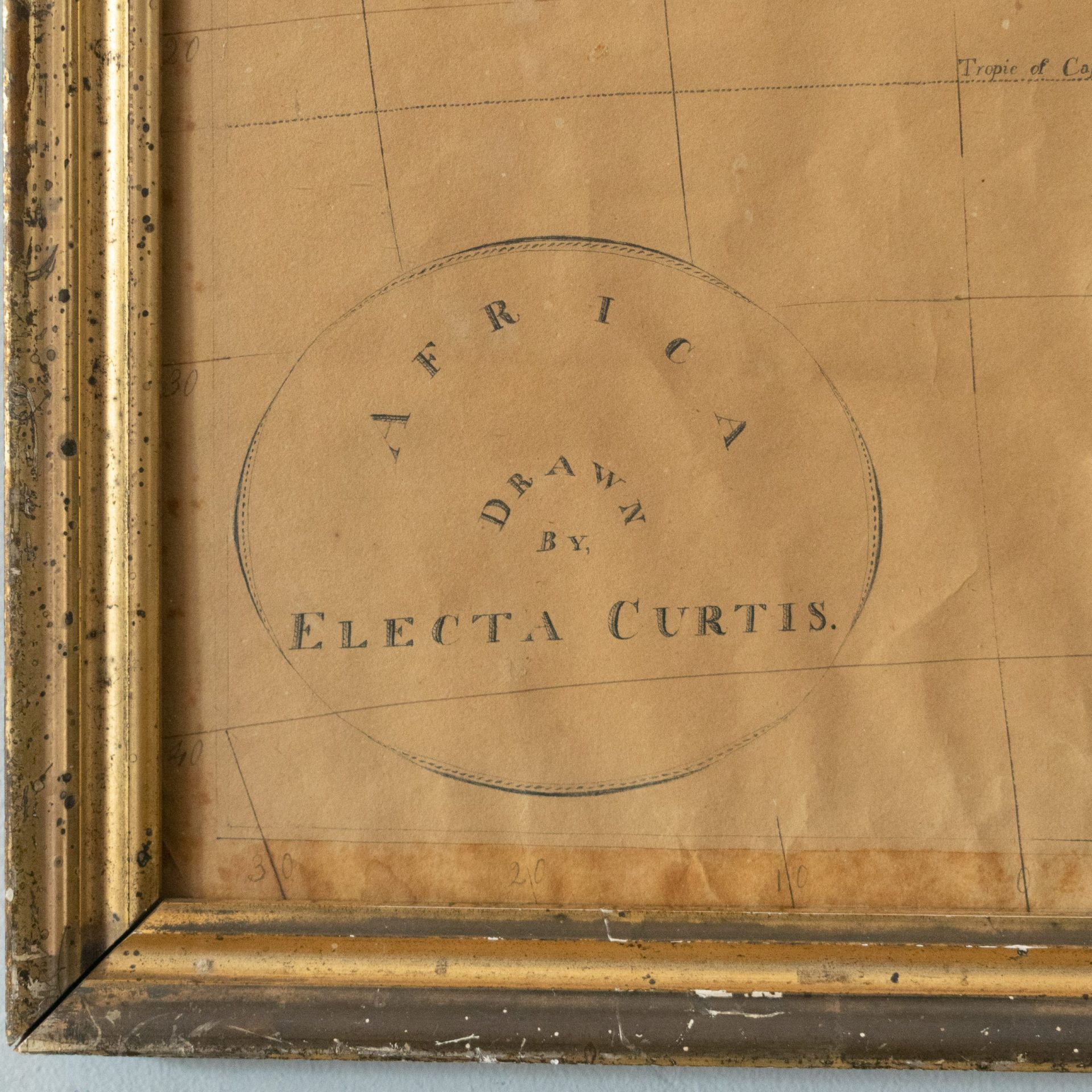
Electa was – surprisingly enough – a popular name in the early to mid 19th century and Africa was still largely unexplored by cartographers, etc. Dating the map and finding its maker was therefore an exercise in probability, i.e. looking for a person living in the Northeast US whose lifetime overlapped the understanding of Africa as represented in her map.
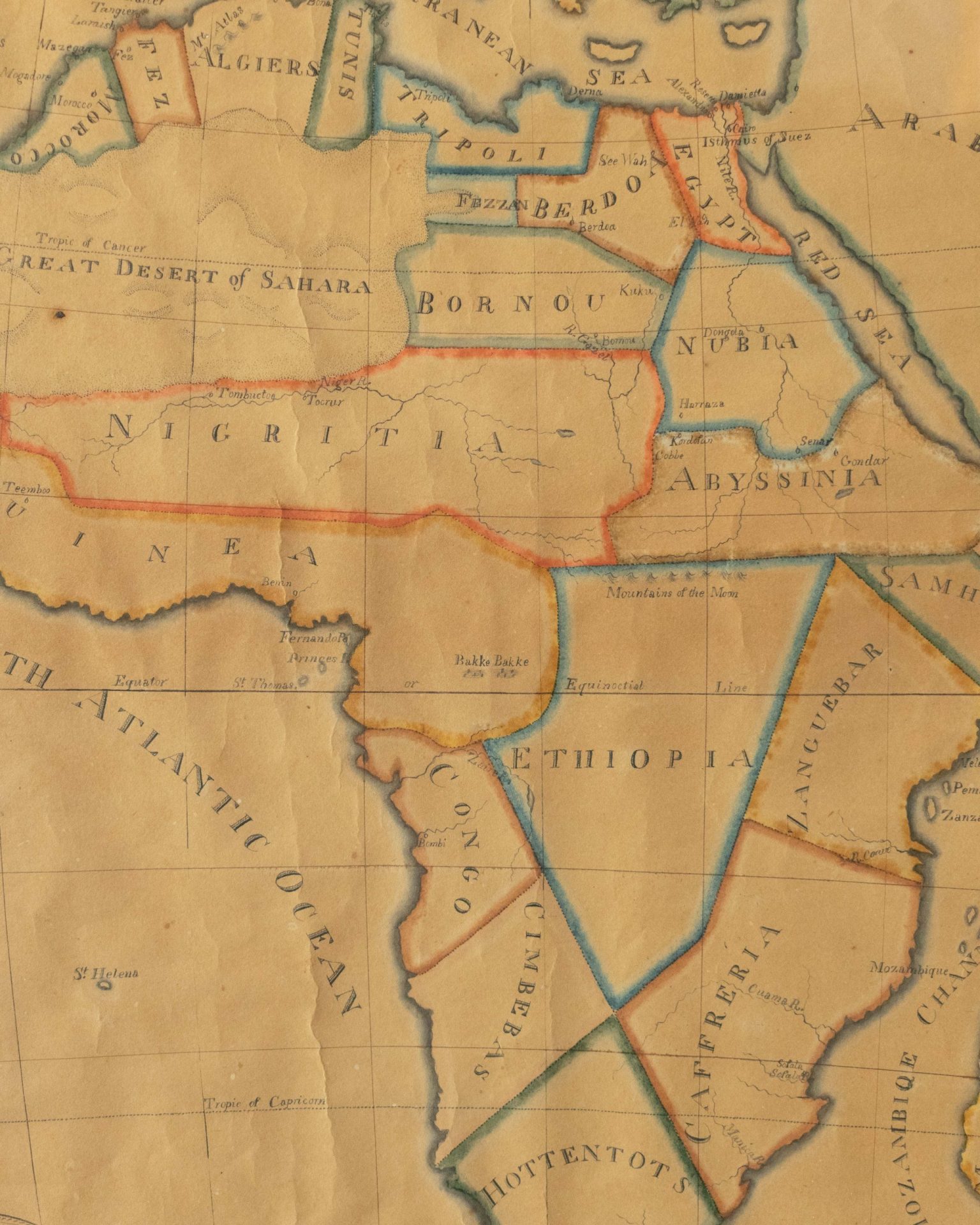
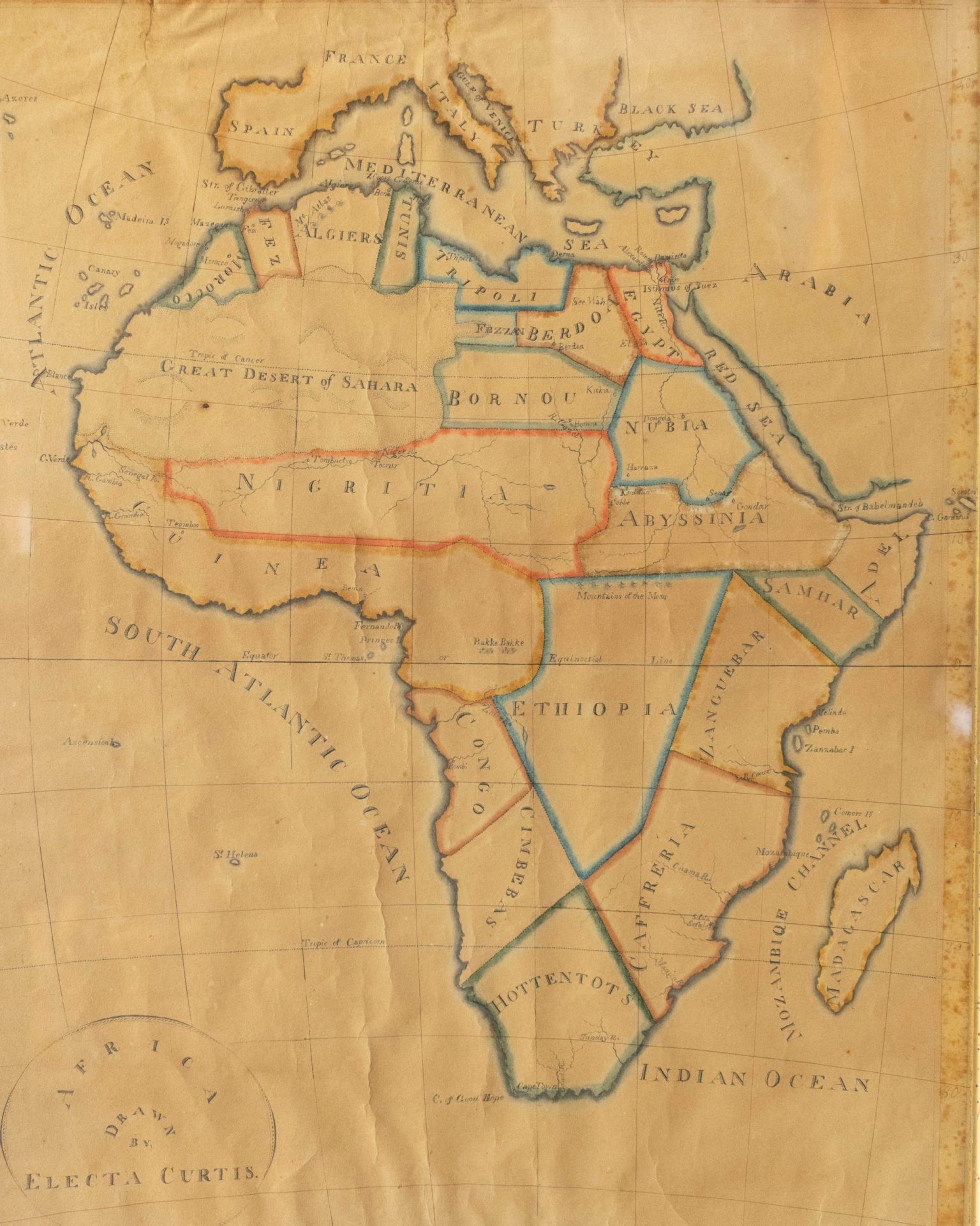
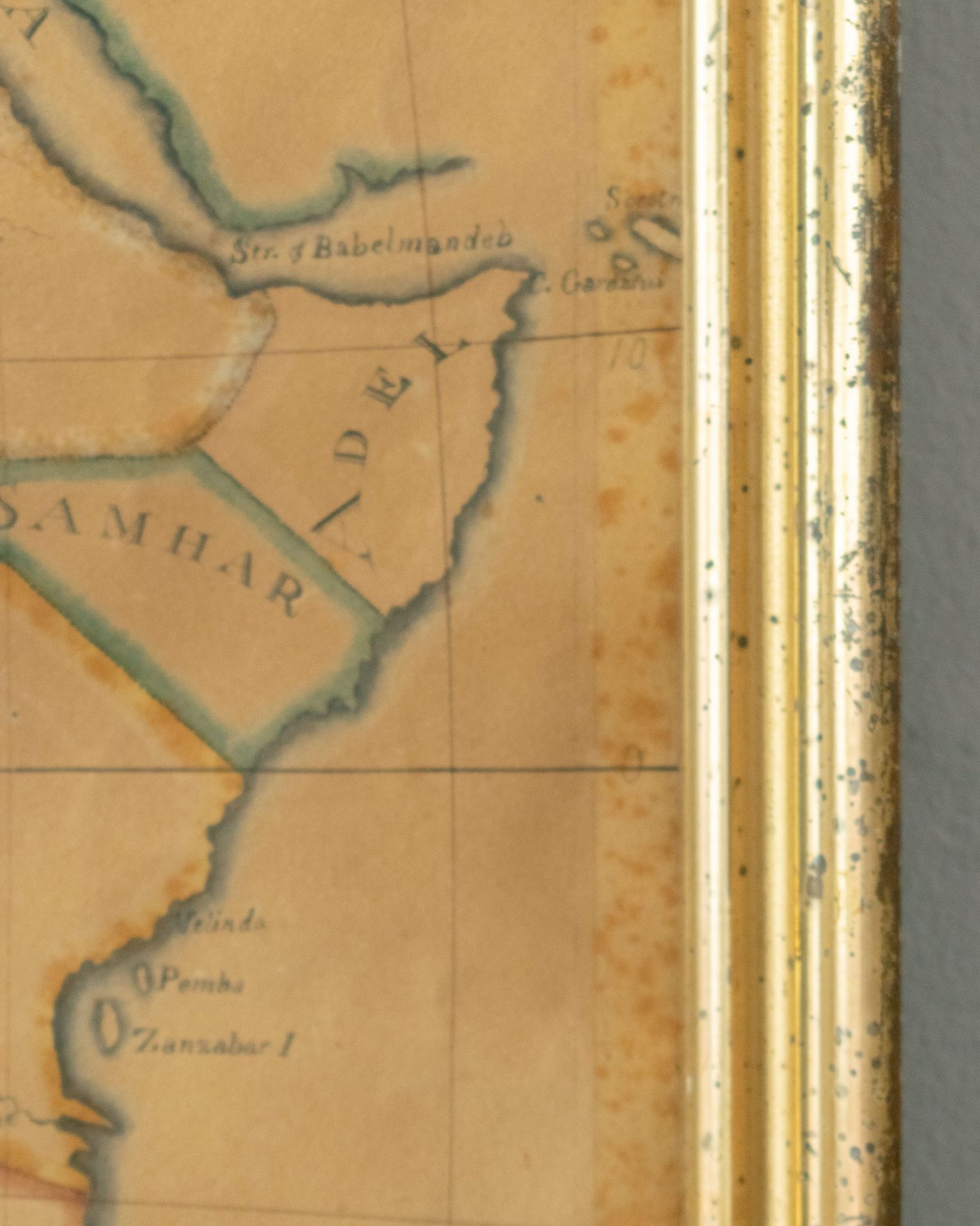
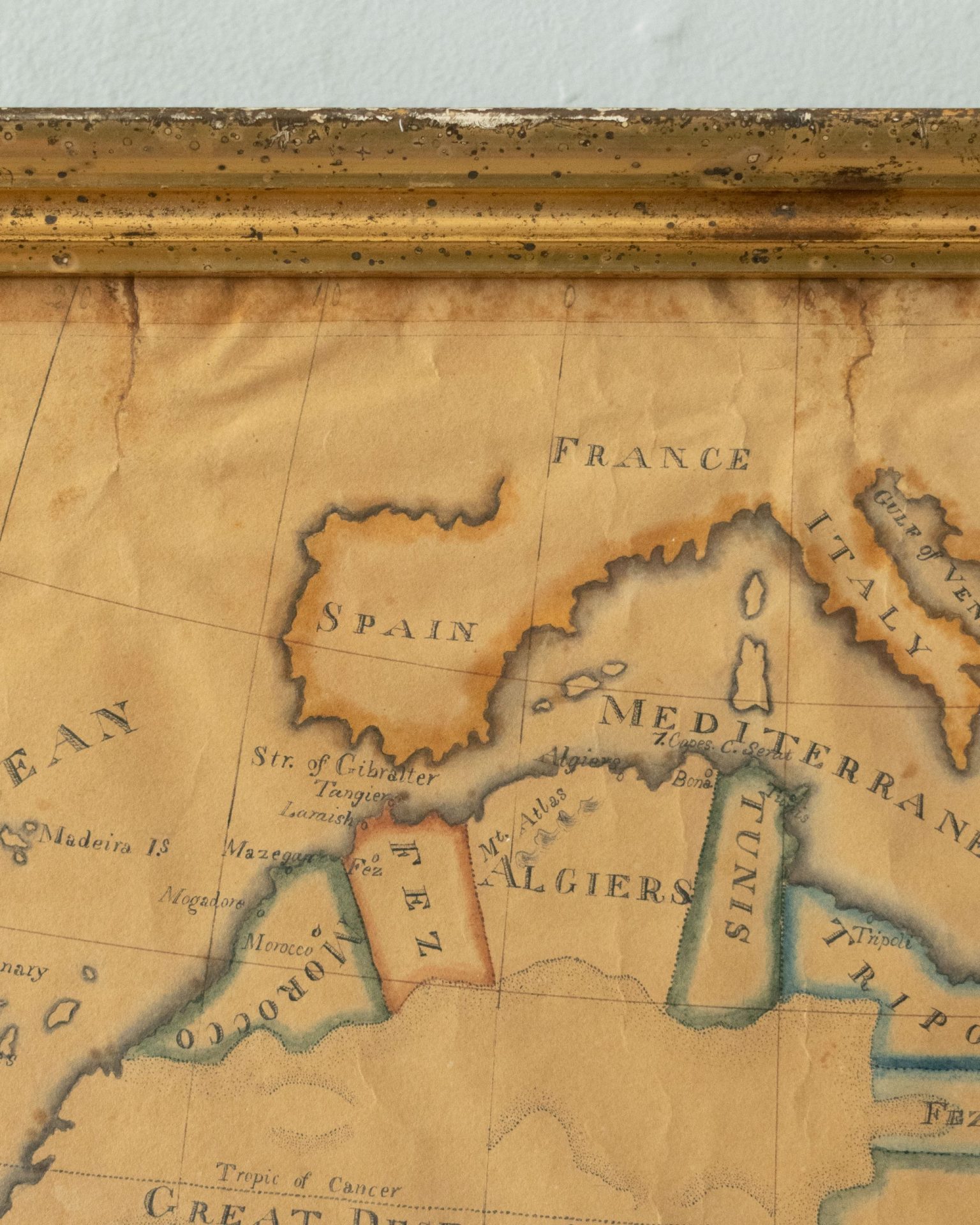
Regarding the map: political boundaries on the continent were an invention of colonizing nations during the last quarter of the 19th century. Until then those nations had set up trading posts, forts, etc. along coastlines and negotiated territories but they were mostly superficial and didn’t penetrate to the interior. Period maps illustrate this with general and/or speculative regional labels and descriptions rather than hard lines borders framing names of nations.
The probable winner: Electa A, Curtis, 1815-43, Madison, NY.The single map that I found using the same features and conventions as those in Electa’s map was created by Conrad Malte-Brun (d. 1826). Malte-Brun’s work was widely disseminated and adapted in the years following his death… adaptated, that is, for publication in things like American textbooks on geography as early as 1830. The source possibly becomes less speculative when observing that the overall cropping of both maps is identical.The map is in its original gilt frame, backboards and glass.
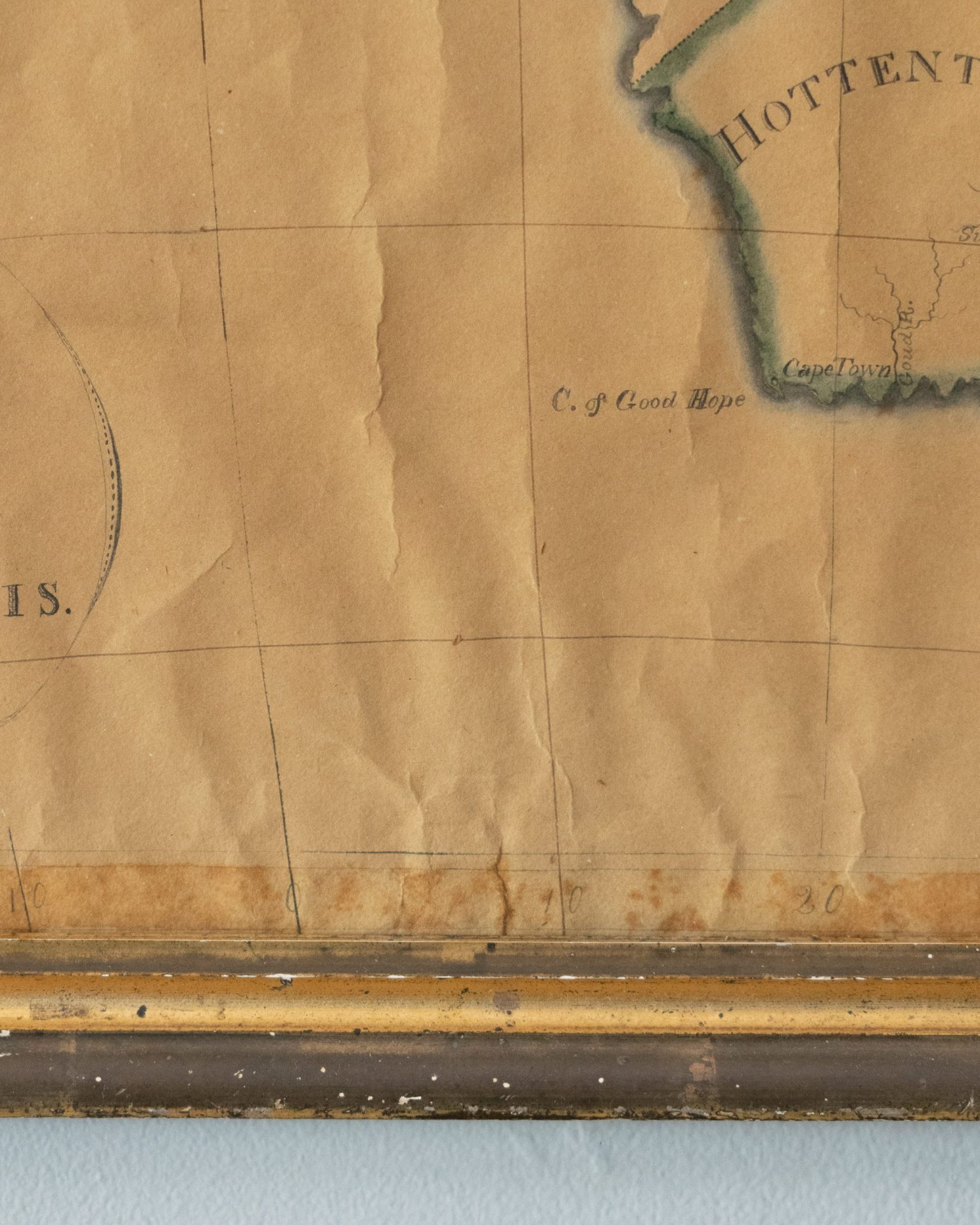
An archival sheet has been inserted between artwork and backboards.
Discolored and fugitive yellow color used in border. Two small tears at top edge, one at bottom (pictured).
10% of all in-store and online sales will be directed toward local not-for-profits. Details here.